Road junction near Poppington
Introduction
The photograph on this page of Road junction near Poppington by David Anstiss as part of the Geograph project.
The Geograph project started in 2005 with the aim of publishing, organising and preserving representative images for every square kilometre of Great Britain, Ireland and the Isle of Man.

There are currently over 7.5m images from over 14,400 individuals and you can help contribute to the project by visiting https://www.geograph.org.uk
Road junction near Poppington
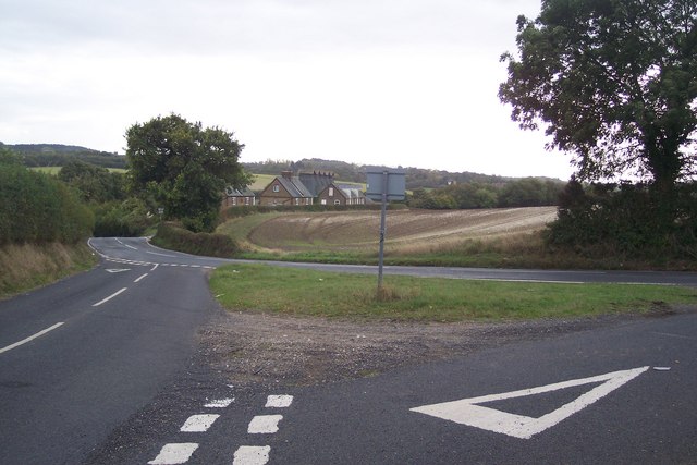
Image: © David Anstiss Taken: 17 Oct 2009
Brenley Lane (from Faversham) meets the Selling Road heading to Selling and Neames Forstal. Further on Featherbed Lane leads right to Hogben's Hill.
Images are licensed for reuse under creativecommons.org/licenses/by-sa/2.0
Image Location
Latitude
51.283987
Longitude
0.919494