Footpath, Hightown Hill
Introduction
The photograph on this page of Footpath, Hightown Hill by Derek Harper as part of the Geograph project.
The Geograph project started in 2005 with the aim of publishing, organising and preserving representative images for every square kilometre of Great Britain, Ireland and the Isle of Man.

There are currently over 7.5m images from over 14,400 individuals and you can help contribute to the project by visiting https://www.geograph.org.uk
Footpath, Hightown Hill
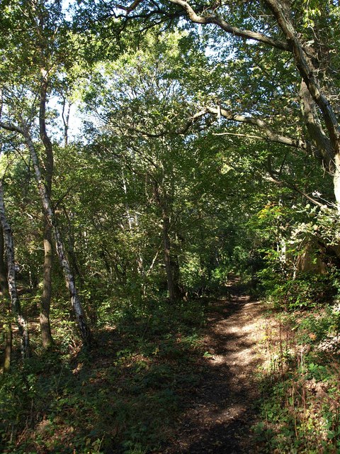
Image: © Derek Harper Taken: 12 Oct 2009
This short stretch of Ringwood Footpath 37 links Forest Lane to Hightown Hill along the edge of a triangle of wooded access land (left).
Images are licensed for reuse under creativecommons.org/licenses/by-sa/2.0
Image Location
Latitude
50.843369
Longitude
-1.755657