Moortown Lane
Introduction
The photograph on this page of Moortown Lane by Derek Harper as part of the Geograph project.
The Geograph project started in 2005 with the aim of publishing, organising and preserving representative images for every square kilometre of Great Britain, Ireland and the Isle of Man.

There are currently over 7.5m images from over 14,400 individuals and you can help contribute to the project by visiting https://www.geograph.org.uk
Moortown Lane
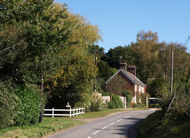
Image: © Derek Harper Taken: 12 Oct 2009
The lane shown in Image] approaches Sundial Cottage, one of a group of houses at the foot of Crow Hill.
Images are licensed for reuse under creativecommons.org/licenses/by-sa/2.0
Image Location


Leaflet Map data © OpenStreetMap
Latitude
50.835651
Longitude
-1.763223