Approaching Hunter Bridge at Kelso from the south
Introduction
The photograph on this page of Approaching Hunter Bridge at Kelso from the south by Walter Baxter as part of the Geograph project.
The Geograph project started in 2005 with the aim of publishing, organising and preserving representative images for every square kilometre of Great Britain, Ireland and the Isle of Man.

There are currently over 7.5m images from over 14,400 individuals and you can help contribute to the project by visiting https://www.geograph.org.uk
Approaching Hunter Bridge at Kelso from the south
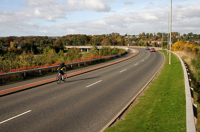
Image: © Walter Baxter Taken: 16 Oct 2009
Hunter Bridge carrying the A698 road over the River Tweed was built between 1997 and 1998 to reduce the congestion on the 1804 John Rennie bridge and direct traffic around the edge of the town.
Images are licensed for reuse under creativecommons.org/licenses/by-sa/2.0
Image Location
Latitude
55.596201
Longitude
-2.420963