Bridleway by Hightown Lake
Introduction
The photograph on this page of Bridleway by Hightown Lake by Derek Harper as part of the Geograph project.
The Geograph project started in 2005 with the aim of publishing, organising and preserving representative images for every square kilometre of Great Britain, Ireland and the Isle of Man.

There are currently over 7.5m images from over 14,400 individuals and you can help contribute to the project by visiting https://www.geograph.org.uk
Bridleway by Hightown Lake
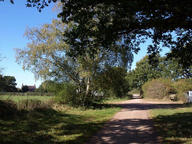
Image: © Derek Harper Taken: 12 Oct 2009
From the same point as Image looking towards Ringwood along the disused railway line followed by Ringwood Bridleway 509. Across on the left is Sabines Farm.
Images are licensed for reuse under creativecommons.org/licenses/by-sa/2.0
Image Location
Latitude
50.837463
Longitude
-1.769889