Wimborne Minster: the Minster yard
Introduction
The photograph on this page of Wimborne Minster: the Minster yard by Chris Downer as part of the Geograph project.
The Geograph project started in 2005 with the aim of publishing, organising and preserving representative images for every square kilometre of Great Britain, Ireland and the Isle of Man.

There are currently over 7.5m images from over 14,400 individuals and you can help contribute to the project by visiting https://www.geograph.org.uk
Wimborne Minster: the Minster yard
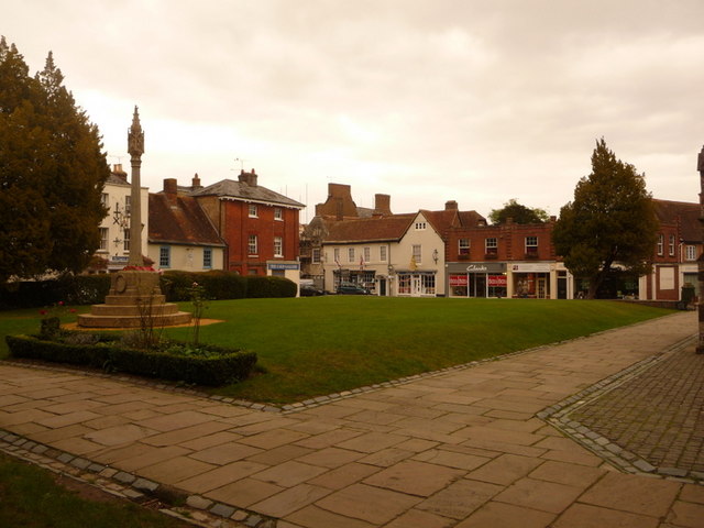
Image: © Chris Downer Taken: 18 Oct 2009
Looking diagonally across the churchyard from by the main Minster entrance. The war memorial is on the left, while High Street frontages face us.
Images are licensed for reuse under creativecommons.org/licenses/by-sa/2.0
Image Location


Leaflet Map data © OpenStreetMap
Latitude
50.79929
Longitude
-1.988171