Waterloo Way, Ringwood
Introduction
The photograph on this page of Waterloo Way, Ringwood by Derek Harper as part of the Geograph project.
The Geograph project started in 2005 with the aim of publishing, organising and preserving representative images for every square kilometre of Great Britain, Ireland and the Isle of Man.

There are currently over 7.5m images from over 14,400 individuals and you can help contribute to the project by visiting https://www.geograph.org.uk
Waterloo Way, Ringwood
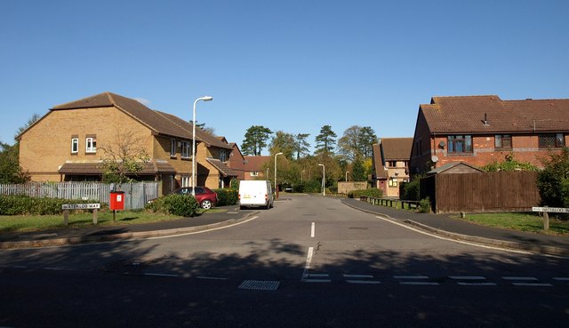
Image: © Derek Harper Taken: 12 Oct 2009
Seen from Image The housing estate is very close to the site of Ringwood station, and the three closes leading off from Waterloo Way also bear the name of a London rail terminus: Victoria Gardens, Charing Close and Euston Grove.
Images are licensed for reuse under creativecommons.org/licenses/by-sa/2.0
Image Location
Latitude
50.842521
Longitude
-1.781936