Largs: the town from the ferry
Introduction
The photograph on this page of Largs: the town from the ferry by Chris Downer as part of the Geograph project.
The Geograph project started in 2005 with the aim of publishing, organising and preserving representative images for every square kilometre of Great Britain, Ireland and the Isle of Man.

There are currently over 7.5m images from over 14,400 individuals and you can help contribute to the project by visiting https://www.geograph.org.uk
Largs: the town from the ferry
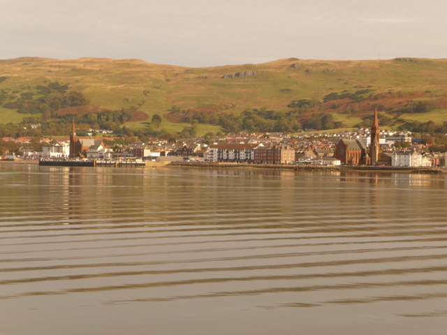
Image: © Chris Downer Taken: 12 Oct 2009
Looking across an attractively rippled sea over Largs town. We are looking from the Cumbrae ferry, which will arrive in the small harbour, below the left-hand church, in a few minutes.
Images are licensed for reuse under creativecommons.org/licenses/by-sa/2.0
Image Location
Latitude
55.795223
Longitude
-4.870635