A452 closure at Blackdown
Introduction
The photograph on this page of A452 closure at Blackdown by Robin Stott as part of the Geograph project.
The Geograph project started in 2005 with the aim of publishing, organising and preserving representative images for every square kilometre of Great Britain, Ireland and the Isle of Man.

There are currently over 7.5m images from over 14,400 individuals and you can help contribute to the project by visiting https://www.geograph.org.uk
A452 closure at Blackdown
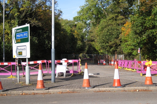
Image: © Robin Stott Taken: 16 Oct 2009
A sign, seen between the middle two cones, says "Danger Deep Excavation". It is the autumn roadworks season.
Images are licensed for reuse under creativecommons.org/licenses/by-sa/2.0
Image Location
Latitude
52.311918
Longitude
-1.540837