Gardens bordering the canal
Introduction
The photograph on this page of Gardens bordering the canal by Natasha Ceridwen de Chroustchoff as part of the Geograph project.
The Geograph project started in 2005 with the aim of publishing, organising and preserving representative images for every square kilometre of Great Britain, Ireland and the Isle of Man.

There are currently over 7.5m images from over 14,400 individuals and you can help contribute to the project by visiting https://www.geograph.org.uk
Gardens bordering the canal
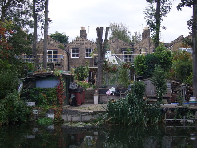
Image: © Natasha Ceridwen de Chroustchoff Taken: 4 Oct 2009
These houses in Sewardstone Road have gardens that run down to the Regent's Canal. The land in this part of Bethnal Green belonged to the Sotheby family and was developed in the 1840s, after the earlier construction of the canal.
Images are licensed for reuse under creativecommons.org/licenses/by-sa/2.0
Image Location
Latitude
51.534399
Longitude
-0.051841