New Housing on Amber Lane, Kings Hill, Kent
Introduction
The photograph on this page of New Housing on Amber Lane, Kings Hill, Kent by Oast House Archive as part of the Geograph project.
The Geograph project started in 2005 with the aim of publishing, organising and preserving representative images for every square kilometre of Great Britain, Ireland and the Isle of Man.

There are currently over 7.5m images from over 14,400 individuals and you can help contribute to the project by visiting https://www.geograph.org.uk
New Housing on Amber Lane, Kings Hill, Kent
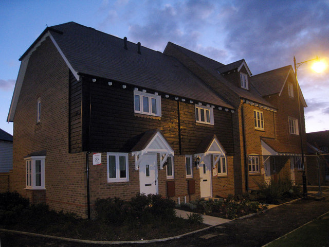
Image: © Oast House Archive Taken: 16 Oct 2009
Numbers 27 and 28. The buildings have recently been completed and are not yet occupied, adjacent buildings, including a fake oast house, are still under constructions. Part of the Greenway development.
Images are licensed for reuse under creativecommons.org/licenses/by-sa/2.0
Image Location
Latitude
51.273965
Longitude
0.420587