Footpath from Tudhoe Colliery to A167
Introduction
The photograph on this page of Footpath from Tudhoe Colliery to A167 by Peter Robinson as part of the Geograph project.
The Geograph project started in 2005 with the aim of publishing, organising and preserving representative images for every square kilometre of Great Britain, Ireland and the Isle of Man.

There are currently over 7.5m images from over 14,400 individuals and you can help contribute to the project by visiting https://www.geograph.org.uk
Footpath from Tudhoe Colliery to A167
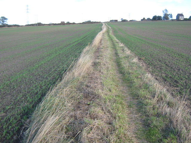
Image: © Peter Robinson Taken: 11 Oct 2009
An excellent path, originally used between the colliery and the bus stops on either side of the road. County Durham
Images are licensed for reuse under creativecommons.org/licenses/by-sa/2.0
Image Location
Latitude
54.719432
Longitude
-1.577246