Ward Close and Isabella's Tower
Introduction
The photograph on this page of Ward Close and Isabella's Tower by Eric Jones as part of the Geograph project.
The Geograph project started in 2005 with the aim of publishing, organising and preserving representative images for every square kilometre of Great Britain, Ireland and the Isle of Man.

There are currently over 7.5m images from over 14,400 individuals and you can help contribute to the project by visiting https://www.geograph.org.uk
Ward Close and Isabella's Tower
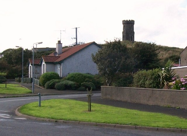
Image: © Eric Jones Taken: 20 Aug 2009
Isabella's Tower stands on the highest point in Ardglass and is a well known local landmark. It is a folly built in the 19thC by Aubrey de Vere Beauclerc for his crippled daughter, Isabella. Later, it became a lookout for the Coastguard. It has since been converted into a private residence.
Images are licensed for reuse under creativecommons.org/licenses/by-sa/2.0
Image Location
Latitude
54.257464
Longitude
-5.612412