Road junction in Alvescot
Introduction
The photograph on this page of Road junction in Alvescot by andrew auger as part of the Geograph project.
The Geograph project started in 2005 with the aim of publishing, organising and preserving representative images for every square kilometre of Great Britain, Ireland and the Isle of Man.

There are currently over 7.5m images from over 14,400 individuals and you can help contribute to the project by visiting https://www.geograph.org.uk
Road junction in Alvescot
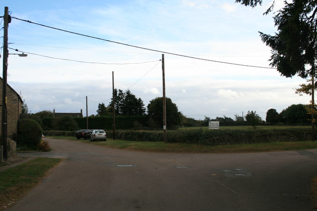
Image: © andrew auger Taken: 3 Oct 2009
Both roads are dead ends, both have bridleways or footpaths at the end. The white sign in the picture advertises Rectory Farm selling free range eggs potatoes and hay.
Images are licensed for reuse under creativecommons.org/licenses/by-sa/2.0
Image Location
Latitude
51.735763
Longitude
-1.607083