St. Mary's
Introduction
The photograph on this page of St. Mary's by Galatas as part of the Geograph project.
The Geograph project started in 2005 with the aim of publishing, organising and preserving representative images for every square kilometre of Great Britain, Ireland and the Isle of Man.

There are currently over 7.5m images from over 14,400 individuals and you can help contribute to the project by visiting https://www.geograph.org.uk
St. Mary's
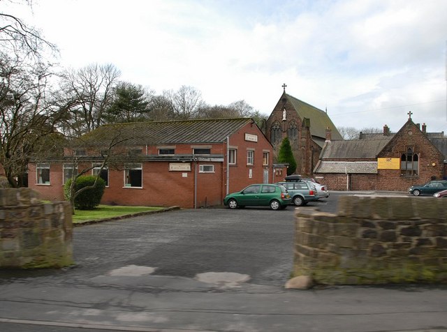
Image: © Galatas Taken: 5 Feb 2008
This is a view of St. Mary's Church in the background, and the old school building on the right. The church was built by the Anderton family, and the architect was E.W.Pugin & Pugin.
Images are licensed for reuse under creativecommons.org/licenses/by-sa/2.0
Image Location
Latitude
53.666607
Longitude
-2.675375