Miner's Arms, Maeshafn
Introduction
The photograph on this page of Miner's Arms, Maeshafn by Eirian Evans as part of the Geograph project.
The Geograph project started in 2005 with the aim of publishing, organising and preserving representative images for every square kilometre of Great Britain, Ireland and the Isle of Man.

There are currently over 7.5m images from over 14,400 individuals and you can help contribute to the project by visiting https://www.geograph.org.uk
Miner's Arms, Maeshafn
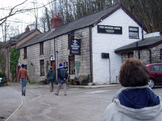
Image: © Eirian Evans Taken: 17 Apr 2006
Maeshafn used to be a mining village, with many lead mines in the area. There are also limestone quarries in the vicinity.
Images are licensed for reuse under creativecommons.org/licenses/by-sa/2.0
Image Location


Leaflet Map data © OpenStreetMap
Latitude
53.139237
Longitude
-3.195865