The council chamber at Shirehall
Introduction
The photograph on this page of The council chamber at Shirehall by Dave Croker as part of the Geograph project.
The Geograph project started in 2005 with the aim of publishing, organising and preserving representative images for every square kilometre of Great Britain, Ireland and the Isle of Man.

There are currently over 7.5m images from over 14,400 individuals and you can help contribute to the project by visiting https://www.geograph.org.uk
The council chamber at Shirehall
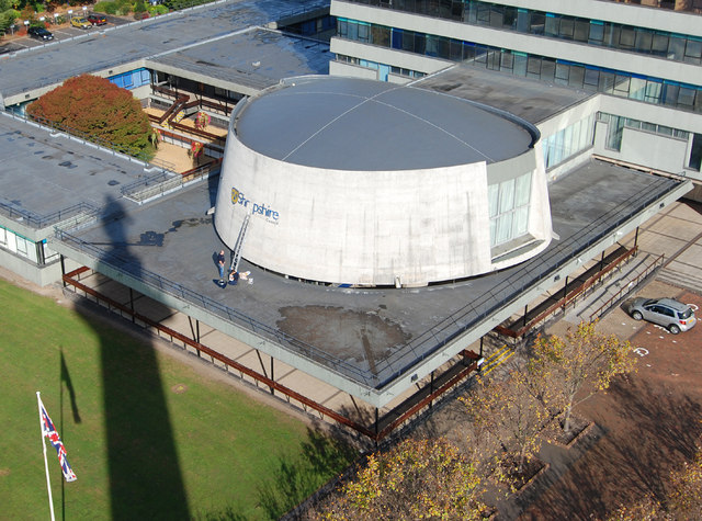
Image: © Dave Croker Taken: 13 Oct 2009
The long shadow on the left is from the Column http://www.geograph.org.uk/photo/1534682
Images are licensed for reuse under creativecommons.org/licenses/by-sa/2.0
Image Location
Latitude
52.704664
Longitude
-2.732395