Pinford Farm - 1
Introduction
The photograph on this page of Pinford Farm - 1 by Trevor Rickard as part of the Geograph project.
The Geograph project started in 2005 with the aim of publishing, organising and preserving representative images for every square kilometre of Great Britain, Ireland and the Isle of Man.

There are currently over 7.5m images from over 14,400 individuals and you can help contribute to the project by visiting https://www.geograph.org.uk
Pinford Farm - 1
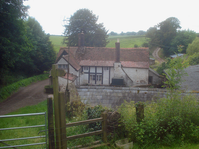
Image: © Trevor Rickard Taken: 11 Jun 2009
From the public footpath entrance looking at the eastern (back) side of the farmhouse. This 17th century (?) farmhouse sits on its own lane between Bromsash and Linton, which appears to have once been part of the road network.
Images are licensed for reuse under creativecommons.org/licenses/by-sa/2.0
Image Location
Latitude
51.92157
Longitude
-2.497247