Bobbers Mill Road
Introduction
The photograph on this page of Bobbers Mill Road by John Sutton as part of the Geograph project.
The Geograph project started in 2005 with the aim of publishing, organising and preserving representative images for every square kilometre of Great Britain, Ireland and the Isle of Man.

There are currently over 7.5m images from over 14,400 individuals and you can help contribute to the project by visiting https://www.geograph.org.uk
Bobbers Mill Road
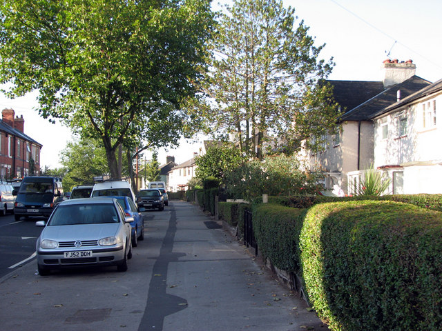
Image: © John Sutton Taken: 24 Sep 2009
Victorian red-brick terraced houses on the left-hand side and rendered inter-wars municipal housing on the right.
Images are licensed for reuse under creativecommons.org/licenses/by-sa/2.0
Image Location
Latitude
52.966311
Longitude
-1.178387