Triangle of Green at Whitley Road
Introduction
The photograph on this page of Triangle of Green at Whitley Road by David Anstiss as part of the Geograph project.
The Geograph project started in 2005 with the aim of publishing, organising and preserving representative images for every square kilometre of Great Britain, Ireland and the Isle of Man.

There are currently over 7.5m images from over 14,400 individuals and you can help contribute to the project by visiting https://www.geograph.org.uk
Triangle of Green at Whitley Road
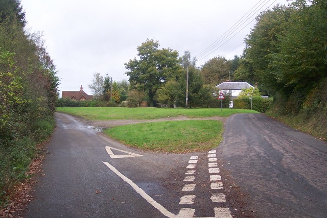
Image: © David Anstiss Taken: 11 Oct 2009
Back Lane is on the right leading straight on to Sevenoaks. Penn Lane leads left towards Sundridge.
Images are licensed for reuse under creativecommons.org/licenses/by-sa/2.0
Image Location


Leaflet Map data © OpenStreetMap
Latitude
51.255983
Longitude
0.143603