View to Whitstable Windmill
Introduction
The photograph on this page of View to Whitstable Windmill by David Anstiss as part of the Geograph project.
The Geograph project started in 2005 with the aim of publishing, organising and preserving representative images for every square kilometre of Great Britain, Ireland and the Isle of Man.

There are currently over 7.5m images from over 14,400 individuals and you can help contribute to the project by visiting https://www.geograph.org.uk
View to Whitstable Windmill
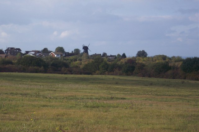
Image: © David Anstiss Taken: 10 Oct 2009
Seen from the A2990 Thanet Way near Benacre Wood. Field in foreground is used to exercise horses and ponies.
Images are licensed for reuse under creativecommons.org/licenses/by-sa/2.0
Image Location
Latitude
51.341881
Longitude
1.026858