2009 : Urban into rural, New Cheltenham to Siston Common
Introduction
The photograph on this page of 2009 : Urban into rural, New Cheltenham to Siston Common by Maurice Pullin as part of the Geograph project.
The Geograph project started in 2005 with the aim of publishing, organising and preserving representative images for every square kilometre of Great Britain, Ireland and the Isle of Man.

There are currently over 7.5m images from over 14,400 individuals and you can help contribute to the project by visiting https://www.geograph.org.uk
2009 : Urban into rural, New Cheltenham to Siston Common
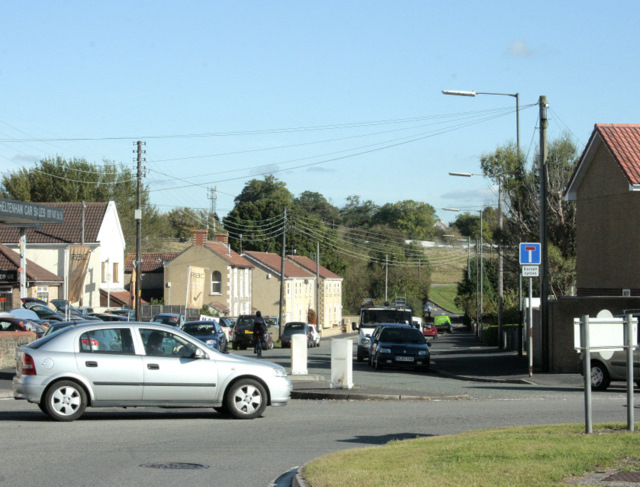
Image: © Maurice Pullin Taken: 12 Oct 2009
Nearly at the point where east Bristol's sprawling housing estates become open countryside. (Officially this is Gloucestershire, the Bristol boundary is about a mile west of here.) The roundabout to the right is at the eastern end of Cheltenham Road which gives way to Fisher Road on the other side.
Images are licensed for reuse under creativecommons.org/licenses/by-sa/2.0
Image Location
Latitude
51.467909
Longitude
-2.48841