Easthorpe near Bottesford, Leicestershire
Introduction
The photograph on this page of Easthorpe near Bottesford, Leicestershire by Kate Jewell as part of the Geograph project.
The Geograph project started in 2005 with the aim of publishing, organising and preserving representative images for every square kilometre of Great Britain, Ireland and the Isle of Man.

There are currently over 7.5m images from over 14,400 individuals and you can help contribute to the project by visiting https://www.geograph.org.uk
Easthorpe near Bottesford, Leicestershire
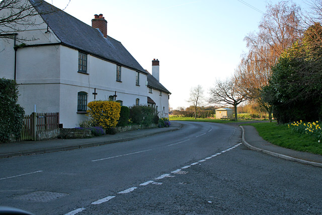
Image: © Kate Jewell Taken: 16 Apr 2006
The junction of Muston Lane with Castle View Road. Unfortunately it isn't possible to get to Muston via Muston Lane any more. The road was blocked off during the upgrading of the A52 in 1987.
Images are licensed for reuse under creativecommons.org/licenses/by-sa/2.0
Image Location
Latitude
52.937764
Longitude
-0.793247