Wood alongside the Harden Burn
Introduction
The photograph on this page of Wood alongside the Harden Burn by Richard Webb as part of the Geograph project.
The Geograph project started in 2005 with the aim of publishing, organising and preserving representative images for every square kilometre of Great Britain, Ireland and the Isle of Man.

There are currently over 7.5m images from over 14,400 individuals and you can help contribute to the project by visiting https://www.geograph.org.uk
Wood alongside the Harden Burn
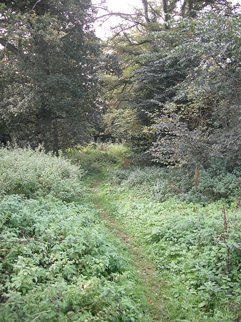
Image: © Richard Webb Taken: 5 Oct 2009
Path used by the Justice Trail, a mountain bike route. The path runs up the narrow wood beside the Harden Burn. Bikes usually go uphill here, and they are none too numerous, so it would also make a good walk.
Images are licensed for reuse under creativecommons.org/licenses/by-sa/2.0
Image Location
Latitude
55.498843
Longitude
-2.5464