Breach Pond ditch
Introduction
The photograph on this page of Breach Pond ditch by David Anstiss as part of the Geograph project.
The Geograph project started in 2005 with the aim of publishing, organising and preserving representative images for every square kilometre of Great Britain, Ireland and the Isle of Man.

There are currently over 7.5m images from over 14,400 individuals and you can help contribute to the project by visiting https://www.geograph.org.uk
Breach Pond ditch
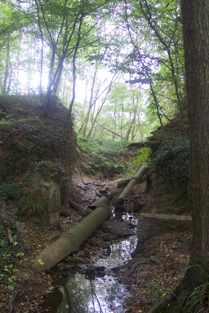
Image: © David Anstiss Taken: 4 Oct 2009
This ditch leads from the pond in Pott's wood towards a field stream leading towards the Newmill Channel.
Images are licensed for reuse under creativecommons.org/licenses/by-sa/2.0
Image Location
Latitude
51.082736
Longitude
0.665471