St Paul's Church, Egham Hythe
Introduction
The photograph on this page of St Paul's Church, Egham Hythe by Rachel Keegan as part of the Geograph project.
The Geograph project started in 2005 with the aim of publishing, organising and preserving representative images for every square kilometre of Great Britain, Ireland and the Isle of Man.

There are currently over 7.5m images from over 14,400 individuals and you can help contribute to the project by visiting https://www.geograph.org.uk
St Paul's Church, Egham Hythe
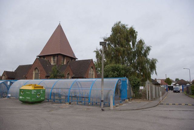
Image: © Rachel Keegan Taken: 11 Oct 2009
This view of the church was taken from the car park of The Magna Carta School.The bungalows in the background are in St Paul's Road
Images are licensed for reuse under creativecommons.org/licenses/by-sa/2.0
Image Location
Latitude
51.427774
Longitude
-0.521298