Hilton
Introduction
The photograph on this page of Hilton by Nigel Mykura as part of the Geograph project.
The Geograph project started in 2005 with the aim of publishing, organising and preserving representative images for every square kilometre of Great Britain, Ireland and the Isle of Man.

There are currently over 7.5m images from over 14,400 individuals and you can help contribute to the project by visiting https://www.geograph.org.uk
Hilton
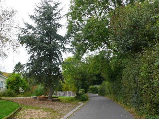
Image: © Nigel Mykura Taken: 11 Oct 2009
View east along the road through the village. This large fir tree has been incorporated into a private drive.
Images are licensed for reuse under creativecommons.org/licenses/by-sa/2.0
Image Location
Latitude
50.82666
Longitude
-2.312161