Buckwells Seven Acres
Introduction
The photograph on this page of Buckwells Seven Acres by Simon Carey as part of the Geograph project.
The Geograph project started in 2005 with the aim of publishing, organising and preserving representative images for every square kilometre of Great Britain, Ireland and the Isle of Man.

There are currently over 7.5m images from over 14,400 individuals and you can help contribute to the project by visiting https://www.geograph.org.uk
Buckwells Seven Acres
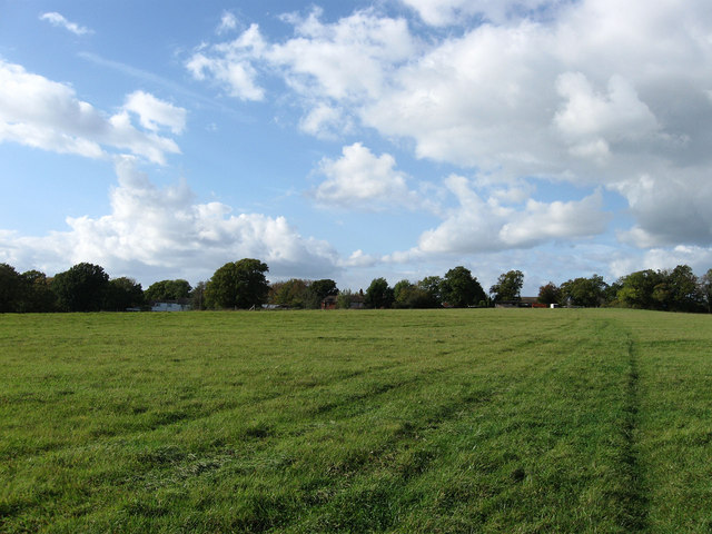
Image: © Simon Carey Taken: 10 Oct 2009
The name of the field according to the 1839 tithe map and once part of Plumpton Common that was enclosed in the late 16th century. Now enlarged to include Old House Mead to the west.
Images are licensed for reuse under creativecommons.org/licenses/by-sa/2.0
Image Location
Latitude
50.946025
Longitude
-0.059458