The Rose and Crown pub, Stone
Introduction
The photograph on this page of The Rose and Crown pub, Stone by Graham Hale as part of the Geograph project.
The Geograph project started in 2005 with the aim of publishing, organising and preserving representative images for every square kilometre of Great Britain, Ireland and the Isle of Man.

There are currently over 7.5m images from over 14,400 individuals and you can help contribute to the project by visiting https://www.geograph.org.uk
The Rose and Crown pub, Stone
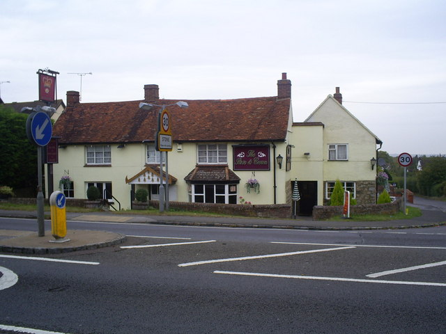
Image: © Graham Hale Taken: 9 Oct 2009
The pub stands at the 30mph speed limit zone for Stone. Part of the pub is now a Thai restaurant. This end of the village is also known as Upper Hartwell.
Images are licensed for reuse under creativecommons.org/licenses/by-sa/2.0
Image Location
Latitude
51.803943
Longitude
-0.854937