Lane
Introduction
The photograph on this page of Lane by Dara Jasumani as part of the Geograph project.
The Geograph project started in 2005 with the aim of publishing, organising and preserving representative images for every square kilometre of Great Britain, Ireland and the Isle of Man.

There are currently over 7.5m images from over 14,400 individuals and you can help contribute to the project by visiting https://www.geograph.org.uk
Lane
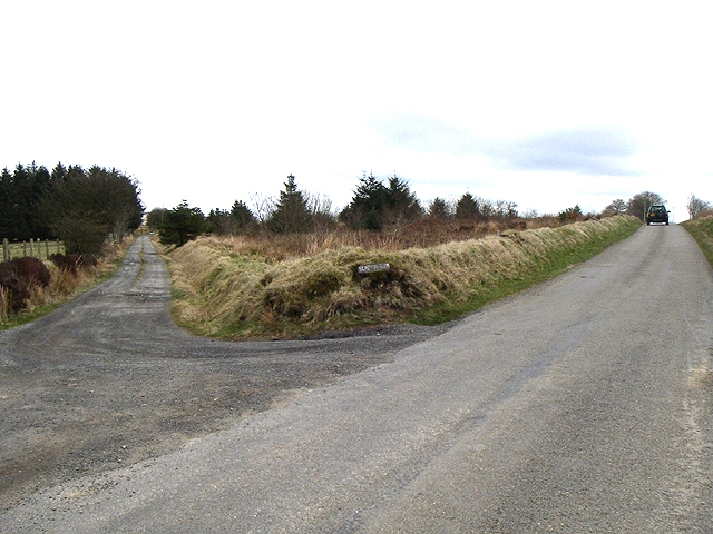
Image: © Dara Jasumani Taken: 16 Apr 2006
The lane for Blaen-nant-gwyn. The main road is running east-west. Jan 2011 - ahead of you is the site of a planning application for 21 massive wind turbines at 127m/416 feet high - see http://www.brynllywelyn.co.uk/, and to your right is the site of another application for even larger wind turbine development at 145m/475ft high - see http://www.rwe.com/web/cms/en/512366/rwe-npower-renewables/sites/projects-in-development/wind/brechfa-forest/brechfa-forest-west-the-proposal/
Images are licensed for reuse under creativecommons.org/licenses/by-sa/2.0
Image Location


Leaflet Map data © OpenStreetMap
Latitude
51.996538
Longitude
-4.196482