Monks Walk
Introduction
The photograph on this page of Monks Walk by Ian Capper as part of the Geograph project.
The Geograph project started in 2005 with the aim of publishing, organising and preserving representative images for every square kilometre of Great Britain, Ireland and the Isle of Man.

There are currently over 7.5m images from over 14,400 individuals and you can help contribute to the project by visiting https://www.geograph.org.uk
Monks Walk
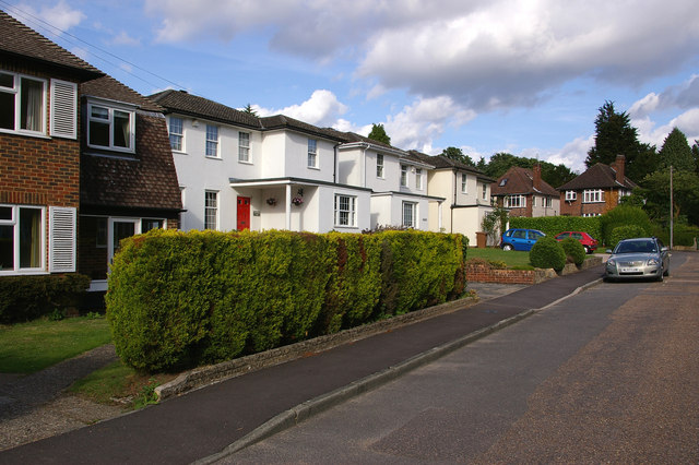
Image: © Ian Capper Taken: 25 Jul 2009
Largely 1940s/1950s houses built on what were the grounds of a house called "The Wilderness".
Images are licensed for reuse under creativecommons.org/licenses/by-sa/2.0
Image Location
Latitude
51.237538
Longitude
-0.199499