Between the roads at Wotter
Introduction
The photograph on this page of Between the roads at Wotter by Derek Harper as part of the Geograph project.
The Geograph project started in 2005 with the aim of publishing, organising and preserving representative images for every square kilometre of Great Britain, Ireland and the Isle of Man.

There are currently over 7.5m images from over 14,400 individuals and you can help contribute to the project by visiting https://www.geograph.org.uk
Between the roads at Wotter
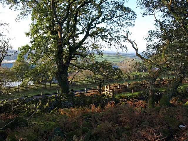
Image: © Derek Harper Taken: 8 Oct 2009
This area of land is between the Wotter bypass, which can be seen between the fences, and the side road into the village, just behind the camera. Through the oak trees on the left can be seen one of the mica dams associated with the china clay works that dominate the area.
Images are licensed for reuse under creativecommons.org/licenses/by-sa/2.0
Image Location
Latitude
50.437705
Longitude
-4.029276