Chapel House (formerly the Bible Christian Chapel) Lowbands
Introduction
The photograph on this page of Chapel House (formerly the Bible Christian Chapel) Lowbands by Roger Davies as part of the Geograph project.
The Geograph project started in 2005 with the aim of publishing, organising and preserving representative images for every square kilometre of Great Britain, Ireland and the Isle of Man.

There are currently over 7.5m images from over 14,400 individuals and you can help contribute to the project by visiting https://www.geograph.org.uk
Chapel House (formerly the Bible Christian Chapel) Lowbands
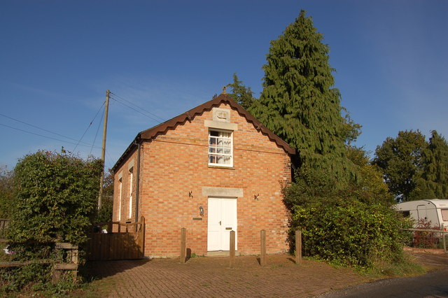
Image: © Roger Davies Taken: 10 Oct 2009
The chapel was built in 1858 to serve a secular community created originally by the Chartist Land Company in 1846. The 23 smallholdings had been sold off in 1851 when the land company was declared illegal.
Images are licensed for reuse under creativecommons.org/licenses/by-sa/2.0
Image Location
Latitude
51.981133
Longitude
-2.33163