Where Irish Street becomes Stream Street
Introduction
The photograph on this page of Where Irish Street becomes Stream Street by Eric Jones as part of the Geograph project.
The Geograph project started in 2005 with the aim of publishing, organising and preserving representative images for every square kilometre of Great Britain, Ireland and the Isle of Man.

There are currently over 7.5m images from over 14,400 individuals and you can help contribute to the project by visiting https://www.geograph.org.uk
Where Irish Street becomes Stream Street
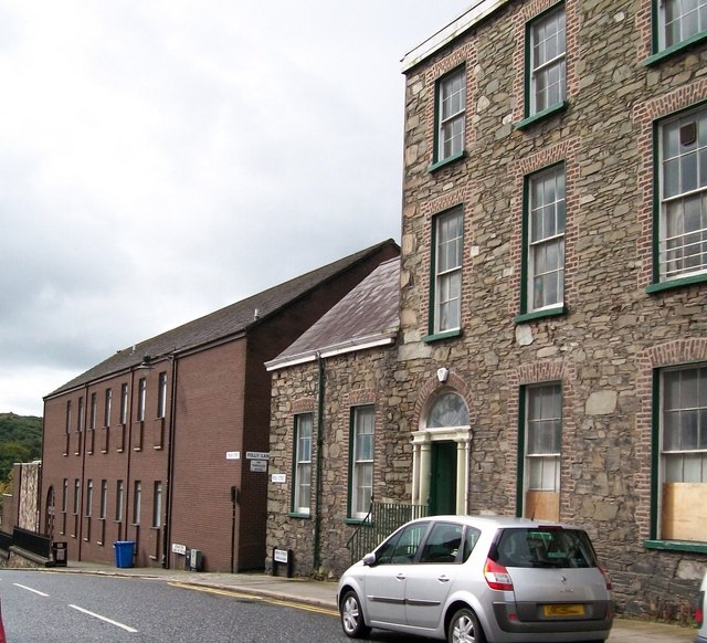
Image: © Eric Jones Taken: 20 Aug 2009
The dividing line between them coincides with the narrow alleyway on the right, known as Folly Lane.
Images are licensed for reuse under creativecommons.org/licenses/by-sa/2.0
Image Location
Latitude
54.326266
Longitude
-5.712812