A46 south of Hampton Road bridge
Introduction
The photograph on this page of A46 south of Hampton Road bridge by Robin Stott as part of the Geograph project.
The Geograph project started in 2005 with the aim of publishing, organising and preserving representative images for every square kilometre of Great Britain, Ireland and the Isle of Man.

There are currently over 7.5m images from over 14,400 individuals and you can help contribute to the project by visiting https://www.geograph.org.uk
A46 south of Hampton Road bridge
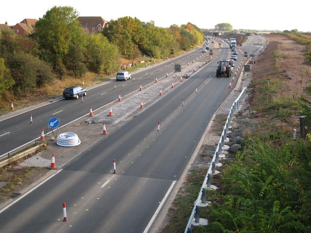
Image: © Robin Stott Taken: 8 Oct 2009
Continuing works such as new crash barriers, lower right, are associated with the short A46 bypass around junction 15 of the M40. New road is taking shape in the distance Image Compare Matthew Lee's 2008 image Image The bridge from which it was taken has been removed.
Images are licensed for reuse under creativecommons.org/licenses/by-sa/2.0
Image Location
Latitude
52.273523
Longitude
-1.614513