Budbrooke Primary School playing field, Hampton Magna near Warwick
Introduction
The photograph on this page of Budbrooke Primary School playing field, Hampton Magna near Warwick by Robin Stott as part of the Geograph project.
The Geograph project started in 2005 with the aim of publishing, organising and preserving representative images for every square kilometre of Great Britain, Ireland and the Isle of Man.

There are currently over 7.5m images from over 14,400 individuals and you can help contribute to the project by visiting https://www.geograph.org.uk
Budbrooke Primary School playing field, Hampton Magna near Warwick
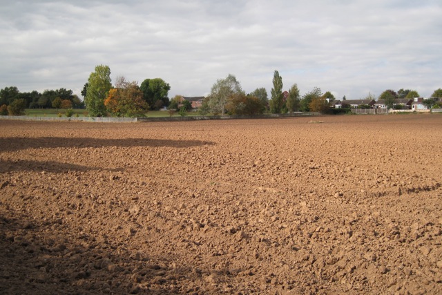
Image: © Robin Stott Taken: 8 Oct 2009
The houses on the right are to the rear of Arras Boulevard - one of several streets on the former Budbrooke Barracks site named after First World War battles.
Images are licensed for reuse under creativecommons.org/licenses/by-sa/2.0
Image Location
Latitude
52.28073
Longitude
-1.618847