Footbridge into The Grove
Introduction
The photograph on this page of Footbridge into The Grove by David Anstiss as part of the Geograph project.
The Geograph project started in 2005 with the aim of publishing, organising and preserving representative images for every square kilometre of Great Britain, Ireland and the Isle of Man.

There are currently over 7.5m images from over 14,400 individuals and you can help contribute to the project by visiting https://www.geograph.org.uk
Footbridge into The Grove
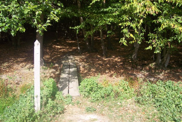
Image: © David Anstiss Taken: 4 Oct 2009
This bridge is on a path from Pope House Lane, St.Michaels leading past Harbourne Farm then it leads up to Church Hill, High Halden. Bridge goes over a field ditch.
Images are licensed for reuse under creativecommons.org/licenses/by-sa/2.0
Image Location


Leaflet Map data © OpenStreetMap
Latitude
51.09783
Longitude
0.705335