Church Lane, Saxby All Saints
Introduction
The photograph on this page of Church Lane, Saxby All Saints by Andrew Hill as part of the Geograph project.
The Geograph project started in 2005 with the aim of publishing, organising and preserving representative images for every square kilometre of Great Britain, Ireland and the Isle of Man.

There are currently over 7.5m images from over 14,400 individuals and you can help contribute to the project by visiting https://www.geograph.org.uk
Church Lane, Saxby All Saints
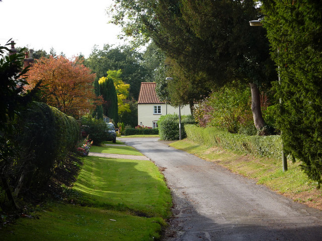
Image: © Andrew Hill Taken: 7 Oct 2009
Looking towards the main road as the ground levels out below the church.
Images are licensed for reuse under creativecommons.org/licenses/by-sa/2.0
Image Location


Leaflet Map data © OpenStreetMap
Latitude
53.63708
Longitude
-0.502187