Penny's Lane
Introduction
The photograph on this page of Penny's Lane by Graham Horn as part of the Geograph project.
The Geograph project started in 2005 with the aim of publishing, organising and preserving representative images for every square kilometre of Great Britain, Ireland and the Isle of Man.

There are currently over 7.5m images from over 14,400 individuals and you can help contribute to the project by visiting https://www.geograph.org.uk
Penny's Lane
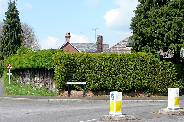
Image: © Graham Horn Taken: 28 Apr 2009
The junction of Penny's Lane with Whitsbury Road north of the town centre. This is an area of post-war bungalow and small house development.
Images are licensed for reuse under creativecommons.org/licenses/by-sa/2.0
Image Location
Latitude
50.933364
Longitude
-1.792612