Scrabo Street, Belfast
Introduction
The photograph on this page of Scrabo Street, Belfast by Albert Bridge as part of the Geograph project.
The Geograph project started in 2005 with the aim of publishing, organising and preserving representative images for every square kilometre of Great Britain, Ireland and the Isle of Man.

There are currently over 7.5m images from over 14,400 individuals and you can help contribute to the project by visiting https://www.geograph.org.uk
Scrabo Street, Belfast
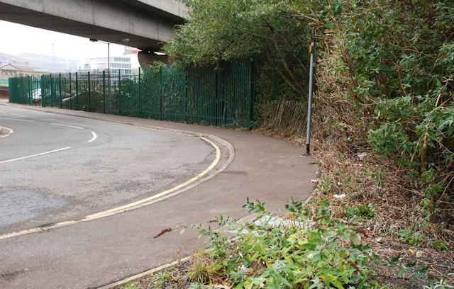
Image: © Albert Bridge Taken: 6 Oct 2009
Scrabo Street ran along the southern side of Queen’s Quay station Image It is now a name only running under the cross-harbour road and railway and serving as access to the Quay Gate apartments Image and Quay Gate House Image The view is towards Queen’s Quay. The Google map is a bit inaccurate.
Images are licensed for reuse under creativecommons.org/licenses/by-sa/2.0
Image Location
Latitude
54.601313
Longitude
-5.916561