Footpath to Blanksmill
Introduction
The photograph on this page of Footpath to Blanksmill by Derek Harper as part of the Geograph project.
The Geograph project started in 2005 with the aim of publishing, organising and preserving representative images for every square kilometre of Great Britain, Ireland and the Isle of Man.

There are currently over 7.5m images from over 14,400 individuals and you can help contribute to the project by visiting https://www.geograph.org.uk
Footpath to Blanksmill
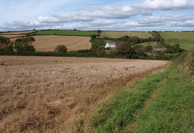
Image: © Derek Harper Taken: 1 Oct 2009
Malborough Footpath 20 follows the edge of a harvested field down to the head of Image Blanksmill itself, the white house in the valley, is in Image, as is the road climbing the hill to the right, shown in Image
Images are licensed for reuse under creativecommons.org/licenses/by-sa/2.0
Image Location


Leaflet Map data © OpenStreetMap
Latitude
50.253412
Longitude
-3.788424