Saughtree Grain
Introduction
The photograph on this page of Saughtree Grain by Richard Webb as part of the Geograph project.
The Geograph project started in 2005 with the aim of publishing, organising and preserving representative images for every square kilometre of Great Britain, Ireland and the Isle of Man.

There are currently over 7.5m images from over 14,400 individuals and you can help contribute to the project by visiting https://www.geograph.org.uk
Saughtree Grain
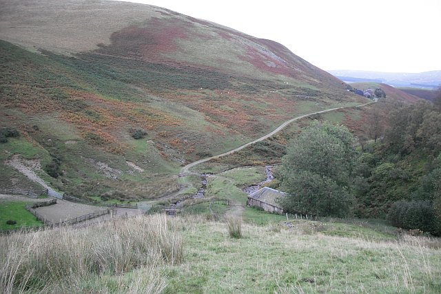
Image: © Richard Webb Taken: 28 Sep 2009
Farm and outbuildings tucked away in the upper part of the Dawston Burn's catchment.
Images are licensed for reuse under creativecommons.org/licenses/by-sa/2.0
Image Location
Latitude
55.290839
Longitude
-2.68573