Lane at Blackberry Barn
Introduction
The photograph on this page of Lane at Blackberry Barn by Derek Harper as part of the Geograph project.
The Geograph project started in 2005 with the aim of publishing, organising and preserving representative images for every square kilometre of Great Britain, Ireland and the Isle of Man.

There are currently over 7.5m images from over 14,400 individuals and you can help contribute to the project by visiting https://www.geograph.org.uk
Lane at Blackberry Barn
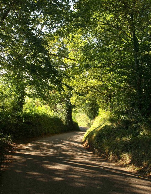
Image: © Derek Harper Taken: 29 Sep 2009
The lane to Bathealton about 100 metres further down from Image, twisting downhill amongst trees to meet the lane from Sminhay Bridge.
Images are licensed for reuse under creativecommons.org/licenses/by-sa/2.0
Image Location
Latitude
51.01557
Longitude
-3.31134