Former A429 near Longbridge Manor, Warwick
Introduction
The photograph on this page of Former A429 near Longbridge Manor, Warwick by Robin Stott as part of the Geograph project.
The Geograph project started in 2005 with the aim of publishing, organising and preserving representative images for every square kilometre of Great Britain, Ireland and the Isle of Man.

There are currently over 7.5m images from over 14,400 individuals and you can help contribute to the project by visiting https://www.geograph.org.uk
Former A429 near Longbridge Manor, Warwick
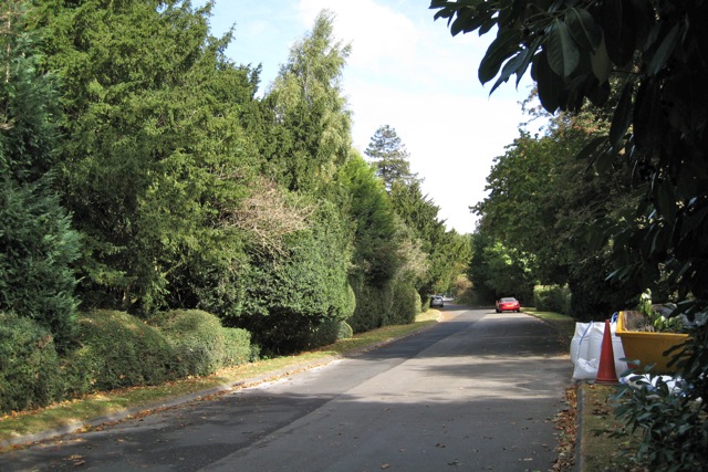
Image: © Robin Stott Taken: 4 Oct 2009
Explanation at Image The view is towards Warwick. On the left is the boundary of the Manor's 17th century or earlier garden.
Images are licensed for reuse under creativecommons.org/licenses/by-sa/2.0
Image Location
Latitude
52.260014
Longitude
-1.607304