St Barbara, Deepcut
Introduction
The photograph on this page of St Barbara, Deepcut by Michael FORD as part of the Geograph project.
The Geograph project started in 2005 with the aim of publishing, organising and preserving representative images for every square kilometre of Great Britain, Ireland and the Isle of Man.

There are currently over 7.5m images from over 14,400 individuals and you can help contribute to the project by visiting https://www.geograph.org.uk
St Barbara, Deepcut
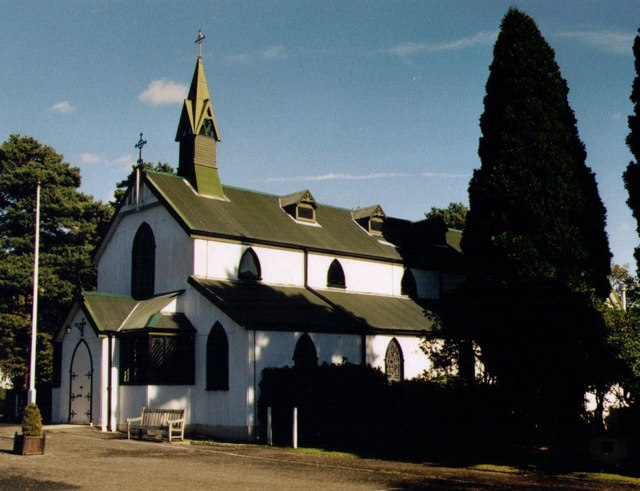
Image: © Michael FORD Taken: Unknown
Grade 2 listed building erected in 1900 as a Garrison Church.
Images are licensed for reuse under creativecommons.org/licenses/by-sa/2.0
Image Location
Latitude
51.307196
Longitude
-0.704222