St Michael's open space, Warwick
Introduction
The photograph on this page of St Michael's open space, Warwick by Robin Stott as part of the Geograph project.
The Geograph project started in 2005 with the aim of publishing, organising and preserving representative images for every square kilometre of Great Britain, Ireland and the Isle of Man.

There are currently over 7.5m images from over 14,400 individuals and you can help contribute to the project by visiting https://www.geograph.org.uk
St Michael's open space, Warwick
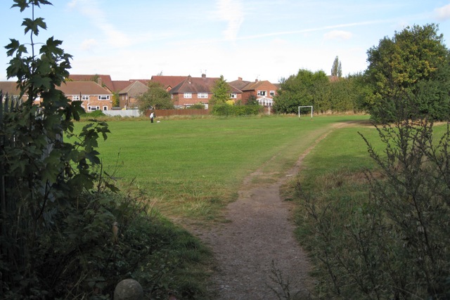
Image: © Robin Stott Taken: 4 Oct 2009
Once part of Warwick's commonable lands known as the Pigwells. Railway is behind the viewpoint. Allotments to the right. Roofs of secure mental hospital showing above the houses.
Images are licensed for reuse under creativecommons.org/licenses/by-sa/2.0
Image Location
Latitude
52.28694
Longitude
-1.593872