The Pilkington Canal, drained (1)
Introduction
The photograph on this page of The Pilkington Canal, drained (1) by Stephen Craven as part of the Geograph project.
The Geograph project started in 2005 with the aim of publishing, organising and preserving representative images for every square kilometre of Great Britain, Ireland and the Isle of Man.

There are currently over 7.5m images from over 14,400 individuals and you can help contribute to the project by visiting https://www.geograph.org.uk
The Pilkington Canal, drained (1)
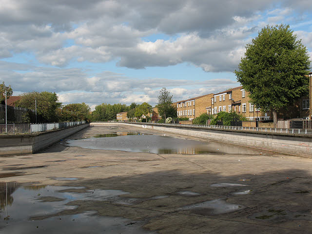
Image: © Stephen Craven Taken: 4 Oct 2009
The canal was drained for maintenance for a few weeks in late 2009, revealing its concrete invert (bottom). The pools seen here are merely rainwater collecting in shallow depressions in the concrete. The depth, about 2m below the waterline, was less than I had imagined when previously seeing it full Image
Images are licensed for reuse under creativecommons.org/licenses/by-sa/2.0
Image Location
Latitude
51.49664
Longitude
0.08356