The 'Freemason's Arms' , Milnrow
Introduction
The photograph on this page of The 'Freemason's Arms' , Milnrow by Dr Neil Clifton as part of the Geograph project.
The Geograph project started in 2005 with the aim of publishing, organising and preserving representative images for every square kilometre of Great Britain, Ireland and the Isle of Man.

There are currently over 7.5m images from over 14,400 individuals and you can help contribute to the project by visiting https://www.geograph.org.uk
The 'Freemason's Arms' , Milnrow
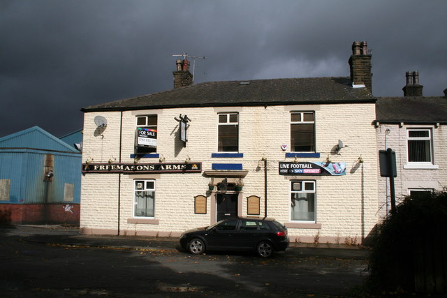
Image: © Dr Neil Clifton Taken: 3 Oct 2009
Another public house recently closed and now up for sale. This is No 1, Equitable Street.
Images are licensed for reuse under creativecommons.org/licenses/by-sa/2.0
Image Location
Latitude
53.609092
Longitude
-2.113014