Whitwell Green Lane, Elland
Introduction
The photograph on this page of Whitwell Green Lane, Elland by Humphrey Bolton as part of the Geograph project.
The Geograph project started in 2005 with the aim of publishing, organising and preserving representative images for every square kilometre of Great Britain, Ireland and the Isle of Man.

There are currently over 7.5m images from over 14,400 individuals and you can help contribute to the project by visiting https://www.geograph.org.uk
Whitwell Green Lane, Elland
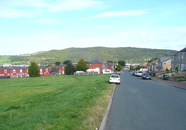
Image: © Humphrey Bolton Taken: 1 Oct 2009
The 1907 map does not show a green - the recreation ground on the left was a field then. On the left is a red-brick housing estate centred on Springfield Road, and there are late 20C houses on the right.
Images are licensed for reuse under creativecommons.org/licenses/by-sa/2.0
Image Location
Latitude
53.685327
Longitude
-1.824324