Werneth Bredbury Boundary
Introduction
The photograph on this page of Werneth Bredbury Boundary by Gerald England as part of the Geograph project.
The Geograph project started in 2005 with the aim of publishing, organising and preserving representative images for every square kilometre of Great Britain, Ireland and the Isle of Man.

There are currently over 7.5m images from over 14,400 individuals and you can help contribute to the project by visiting https://www.geograph.org.uk
Werneth Bredbury Boundary
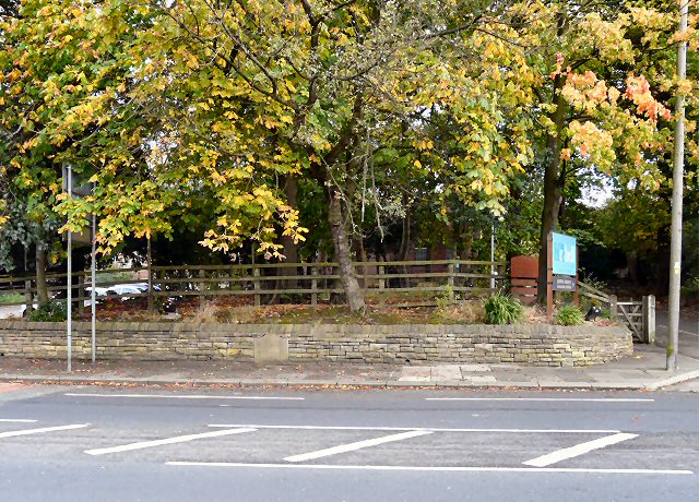
Image: © Gerald England Taken: 3 Oct 2009
In the wall between the entrances to the Joshua Bradley Image and the Bluebell Centre a stoneImage marks the boundary between the townships of Werneth and Bredbury (now between the Metropolitan Boroughs of Tameside and Stockport).
Images are licensed for reuse under creativecommons.org/licenses/by-sa/2.0
Image Location
Latitude
53.433392
Longitude
-2.085153